How to create a map loosely based on real geo of Canada?
Hi All,
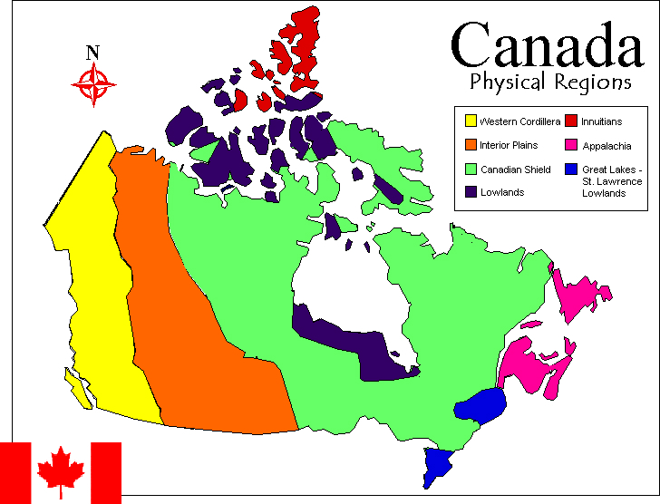
I would like to create a map that is loosely based on the real geographic features of Canada. Namely consisting of features such as the Western Mountains, Interior Plains, Canadian Shield, Great Lakes Basin and St, Lawrence Lowlands, Appalachian regions of eastern Canada and the arctic regions in the north. Can this be done? And how do I get started?
Thanks in advance!
ps. See attachment of basic physical regions of Canada